What Affects Rates in Caldwell
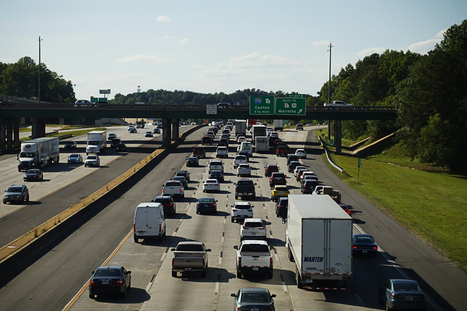
- Daily commutes along I-84 to Boise and Nampa increase collision risk during peak hours, particularly at the Franklin Road and 10th Avenue interchanges. Drivers with regular freeway use typically see higher premiums than those working locally. Multi-vehicle accidents spike during winter weather events when black ice forms between exits 25 and 29.
- Canyon County's agricultural economy means heavy equipment, farm trucks, and seasonal harvest vehicles share roads like Highway 20/26 and Ustick Road. These mixed-use corridors increase comprehensive claims from road debris and gravel damage. Streets near the industrial corridor along Cleveland Boulevard see elevated commercial truck traffic year-round.
- Established neighborhoods near downtown Caldwell and Indian Creek Plaza show lower theft rates and competitive premiums. Newer subdivisions west of Purple Sage Road and near Middleton benefit from lower density but face longer emergency response times. ZIP code 83607 typically rates 5–10% lower than 83605 due to reduced traffic density.
- Caldwell experiences frequent freezing fog and ice storms from December through February, particularly along Chicken Dinner Road and rural routes south of Highway 20/26. Comprehensive coverage claims rise during hailstorms that sweep through Canyon County in late spring. Collision rates peak when black ice forms on elevated overpasses and bridges.
Compare auto insurance rates in your state
Get matched with licensed carriers in minutes. One short form, real quotes, no obligation.
Get Your Free QuoteCoverage Recommendations
Cost estimates are based on available industry data and vary by driver profile. These are not insurance quotes.
Liability Insurance
Critical for Caldwell drivers navigating I-84 commuter traffic and intersections with high seasonal agricultural vehicle volume.
$45–$75/moEstimated range only. Not a quote.
Full Coverage
Recommended for Caldwell commuters facing I-84 corridor risk and hail damage exposure during spring storm season.
$125–$210/moEstimated range only. Not a quote.
Comprehensive Coverage
Addresses Caldwell's hailstorm risk, deer collisions on Highway 20/26, and road debris damage from agricultural traffic.
$30–$55/moEstimated range only. Not a quote.
Collision Coverage
Valuable for daily I-84 commuters and drivers navigating high-traffic intersections at Franklin Road and 10th Avenue.
$50–$90/moEstimated range only. Not a quote.
Uninsured Motorist
Important in Canyon County where approximately 12% of drivers lack proper coverage, particularly on rural county roads.
$15–$30/moEstimated range only. Not a quote.