What Affects Rates in Metairie
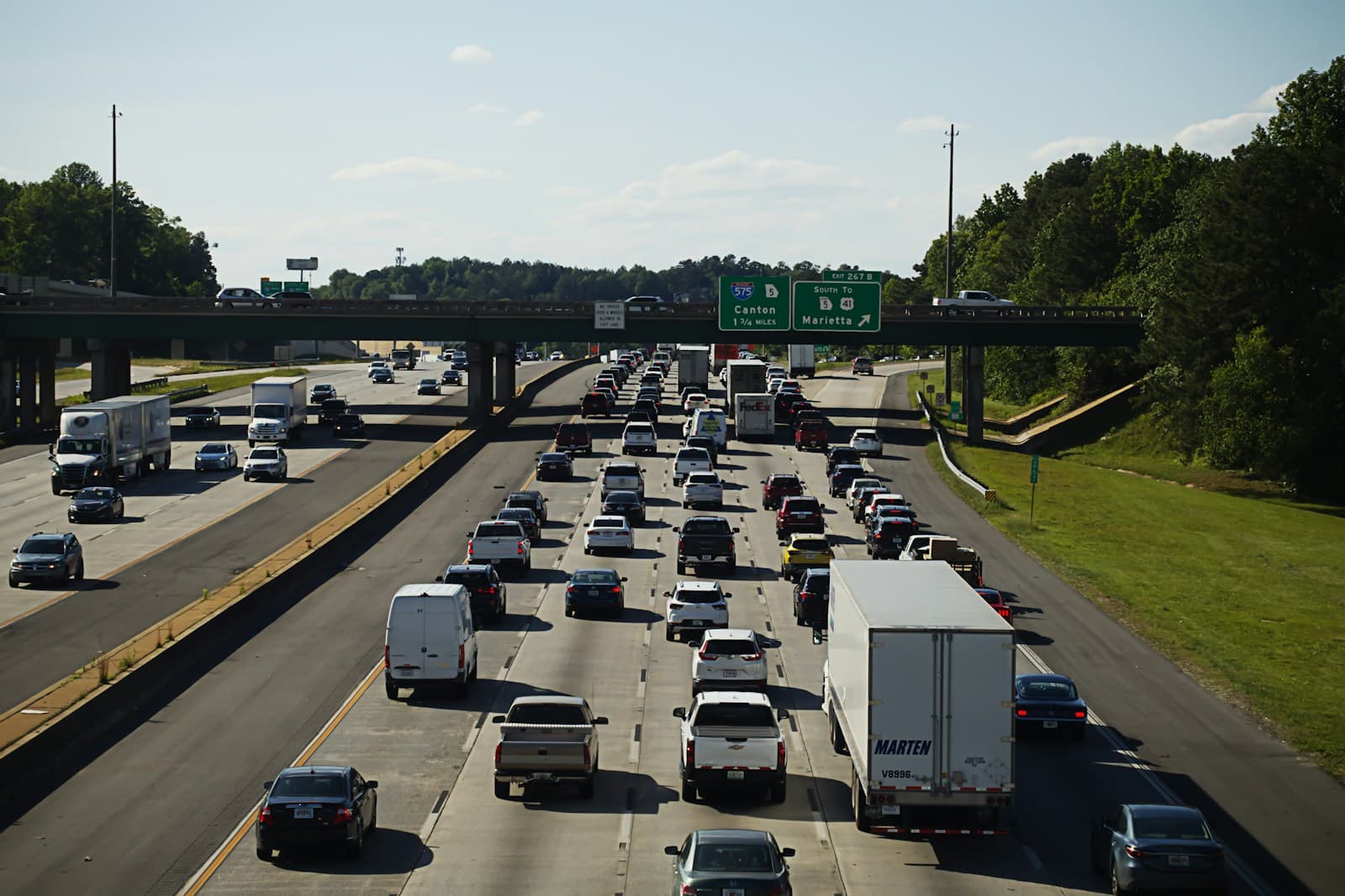
- I-10 through Metairie carries some of the heaviest commuter traffic in Louisiana, with daily backups between Causeway Boulevard and the I-610 split. Veterans Memorial Boulevard sees frequent rear-end collisions during peak hours, particularly near Clearview Parkway and the Lakeside Shopping Center. These high-traffic corridors drive collision claim frequency above the state average.
- Metairie sits below sea level with significant flood exposure, particularly in Old Metairie and areas near the 17th Street Canal. Post-Katrina improvements have reduced but not eliminated flood risk, and comprehensive coverage remains critical for vehicle protection during hurricane season. Insurers price this risk into comprehensive premiums, especially for homes within the Federal Emergency Management Agency flood zones.
- Metairie's proximity to New Orleans and its mix of residential and commercial zones create moderate vehicle theft and break-in rates. Lakeside Mall, Fat City, and areas along Airline Highway see higher theft claims than suburban neighborhoods like Old Metairie or Bucktown. Comprehensive coverage costs reflect this geographic variation.
- Jefferson Parish has a higher uninsured motorist rate than many suburban Louisiana markets, driven partly by cross-border traffic from Orleans Parish. Collisions involving uninsured drivers are more common along Airline Highway and near the New Orleans border. Uninsured motorist coverage is essential protection in this environment.
- Many Metairie residents commute to New Orleans via I-10, Airline Highway, or Causeway Boulevard, adding 15–30 miles daily and increasing accident exposure. Longer commutes translate to higher annual mileage, which insurers factor into pricing. Drivers working locally in Metairie's commercial districts typically qualify for lower rates.
Compare auto insurance rates in your state
Get matched with licensed carriers in minutes. One short form, real quotes, no obligation.
Get Your Free QuoteCoverage Recommendations
Cost estimates are based on available industry data and vary by driver profile. These are not insurance quotes.
Liability Insurance
Critical on Veterans Memorial and I-10, where high-speed rear-end collisions frequently exceed Louisiana's minimum liability limits.
$55–$85/moEstimated range only. Not a quote.
Full Coverage
Essential for Metairie drivers facing hurricane flooding, I-10 congestion, and vehicle theft near commercial zones like Lakeside and Fat City.
$145–$210/moEstimated range only. Not a quote.
Comprehensive Coverage
Addresses Metairie's hurricane flood risk and elevated theft rates along Airline Highway and near the New Orleans border.
$40–$75/moEstimated range only. Not a quote.
Collision Coverage
Protects against frequent fender-benders on Veterans Memorial and Causeway Boulevard during rush hour.
$60–$110/moEstimated range only. Not a quote.
Uninsured Motorist Coverage
Addresses Jefferson Parish's above-average uninsured driver rate, especially along Airline Highway and I-10 near the Orleans Parish line.
$25–$50/moEstimated range only. Not a quote.