What Affects Rates in Bangor
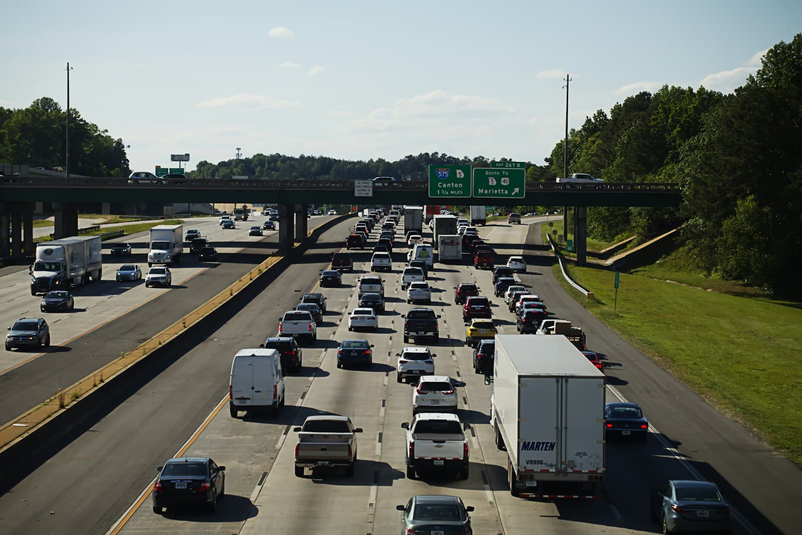
- I-95 runs directly through Bangor, creating a high-speed corridor with elevated rear-end and lane-change collisions, especially near the Hogan Road and Stillwater Avenue exits. Route 1A (Broadway) sees commuter congestion and pedestrian activity near downtown. Collision coverage claims spike during morning and evening rush periods and summer tourist season.
- Bangor's proximity to forested areas means frequent moose and deer crossings on I-95, Route 2, and Route 9 (Airline Road). Comprehensive claims for wildlife strikes are significantly higher here than in southern Maine. Dusk and dawn driving from May through October presents the highest risk.
- Bangor averages 66 inches of snow annually, with ice storms common from December through March. Union Street, State Street, and the Broadway corridor see frequent weather-related claims. Insurers weight winter accident history heavily when pricing comprehensive and collision coverage for Bangor residents.
- Spring ice jams on the Penobscot River occasionally flood low-lying streets near downtown and the Waterfront. Comprehensive coverage becomes critical for vehicles parked near Front Street, Valley Avenue, and Harlow Street during March and April thaw cycles.
- As a regional hub for Penobscot and Piscataquis counties, Bangor sees moderate uninsured motorist exposure, particularly on rural feeder roads like Route 15 and Route 9. Uninsured/underinsured motorist coverage is advisable for drivers commuting from outlying towns like Orono, Hermon, and Brewer.
Compare auto insurance rates in your state
Get matched with licensed carriers in minutes. One short form, real quotes, no obligation.
Get Your Free QuoteCoverage Recommendations
Cost estimates are based on available industry data and vary by driver profile. These are not insurance quotes.
Liability Insurance
Required in Maine; critical on I-95 and Route 1A where multi-vehicle collisions are common during winter commutes.
$45–$75/moEstimated range only. Not a quote.
Full Coverage
Essential for Bangor drivers financing vehicles due to moose strikes, ice storm damage, and congested commuter corridors.
$95–$145/moEstimated range only. Not a quote.
Comprehensive Coverage
Moose and deer collisions on I-95 and Route 9, plus ice storm and flood risk near the Penobscot River, make this a high-value add.
$30–$50/moEstimated range only. Not a quote.
Collision Coverage
Winter crashes on Union Street, State Street, and Broadway during snowstorms drive frequent claims.
$40–$70/moEstimated range only. Not a quote.
Uninsured Motorist
Recommended for commuters on Route 15 and Route 9 where rural uninsured driver rates are higher.
$15–$25/moEstimated range only. Not a quote.