What Affects Rates in Pawtucket
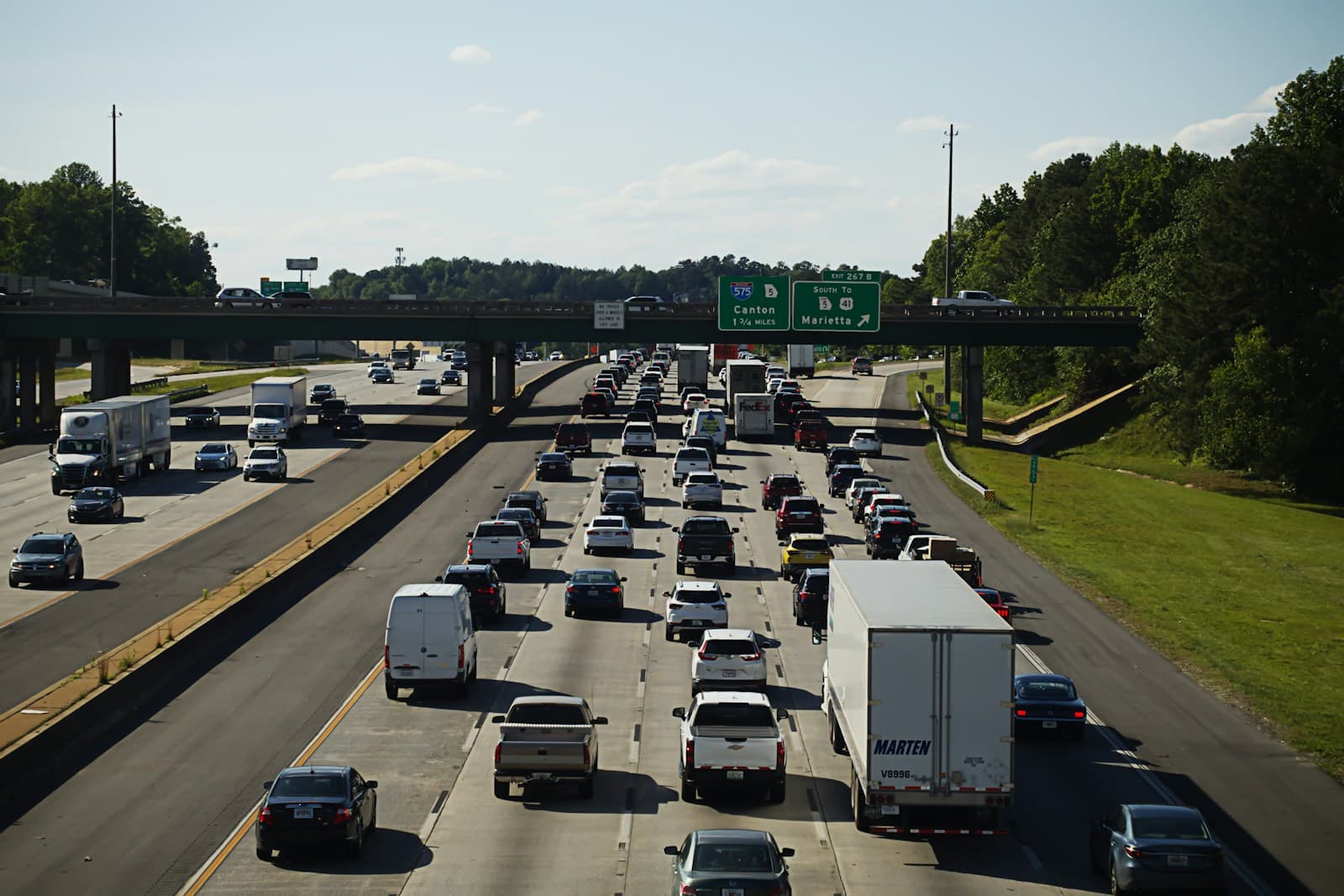
- Pawtucket sits directly on I-95, the primary artery between Providence and Massachusetts, where daily bottlenecks at the Roosevelt Avenue and School Street exits increase accident frequency. Morning southbound congestion and evening northbound backups near the Pawtucket-Central Falls line contribute to higher collision claim rates. Drivers who commute to Providence or Boston face elevated premiums due to time spent in high-density traffic.
- Vehicle theft and break-in rates are concentrated along Main Street, Broad Street, and near Slater Park, where older vehicle models and street parking create opportunities. The downtown area and neighborhoods adjacent to Central Falls report higher comprehensive claims than outer residential zones like Fairlawn or Quality Hill. Garaging a vehicle in these higher-risk areas can add $20–$40/mo to premiums.
- The Blackstone River poses seasonal flood risk for properties near Slater Mill and neighborhoods along Cottage Street and Canal Street. Heavy spring rains and hurricanes have historically caused water damage to vehicles parked in low-lying areas. Comprehensive coverage with adequate limits is essential for drivers in flood-prone zones near the riverfront.
- Pawtucket's aging roadways, narrow historic streets in Darlington and Woodlawn, and poorly marked intersections contribute to fender-benders and liability claims. Potholes on Main Street and Dexter Street worsen after winter freeze-thaw cycles. These infrastructure challenges elevate collision frequency compared to newer suburban developments in western Rhode Island.
- Many Pawtucket residents commute across the Massachusetts border to Attleboro, Seekonk, or Boston, increasing annual mileage and exposure to out-of-state traffic patterns. Cross-border claims can complicate the adjustment process and require adequate liability limits. Insurers factor multi-state commute patterns into underwriting for Pawtucket drivers.
Compare auto insurance rates in your state
Get matched with licensed carriers in minutes. One short form, real quotes, no obligation.
Get Your Free QuoteCoverage Recommendations
Cost estimates are based on available industry data and vary by driver profile. These are not insurance quotes.
Liability Insurance
Rhode Island requires $25,000/$50,000 bodily injury liability, but Pawtucket's dense I-95 corridor and cross-border commutes warrant $100,000/$300,000 or higher to protect assets in multi-vehicle pileups.
$65–$110/moEstimated range only. Not a quote.
Full Coverage
Essential for Pawtucket drivers financing vehicles or parking on Main Street and Broad Street where theft and accident rates are elevated compared to suburban Rhode Island.
$145–$215/moEstimated range only. Not a quote.
Comprehensive Coverage
Critical for downtown residents and those near the Blackstone River flood zones, where vehicle theft and spring flood risk drive comprehensive claims above state averages.
$40–$70/moEstimated range only. Not a quote.
Collision Coverage
Frequent fender-benders on I-95 near Roosevelt Avenue and on congested Main Street make collision coverage valuable for vehicles worth more than $5,000.
$50–$90/moEstimated range only. Not a quote.
Uninsured Motorist
Pawtucket's proximity to Providence and cross-border traffic from Massachusetts increases exposure to uninsured drivers, particularly on Route 1 and I-95.
$15–$30/moEstimated range only. Not a quote.